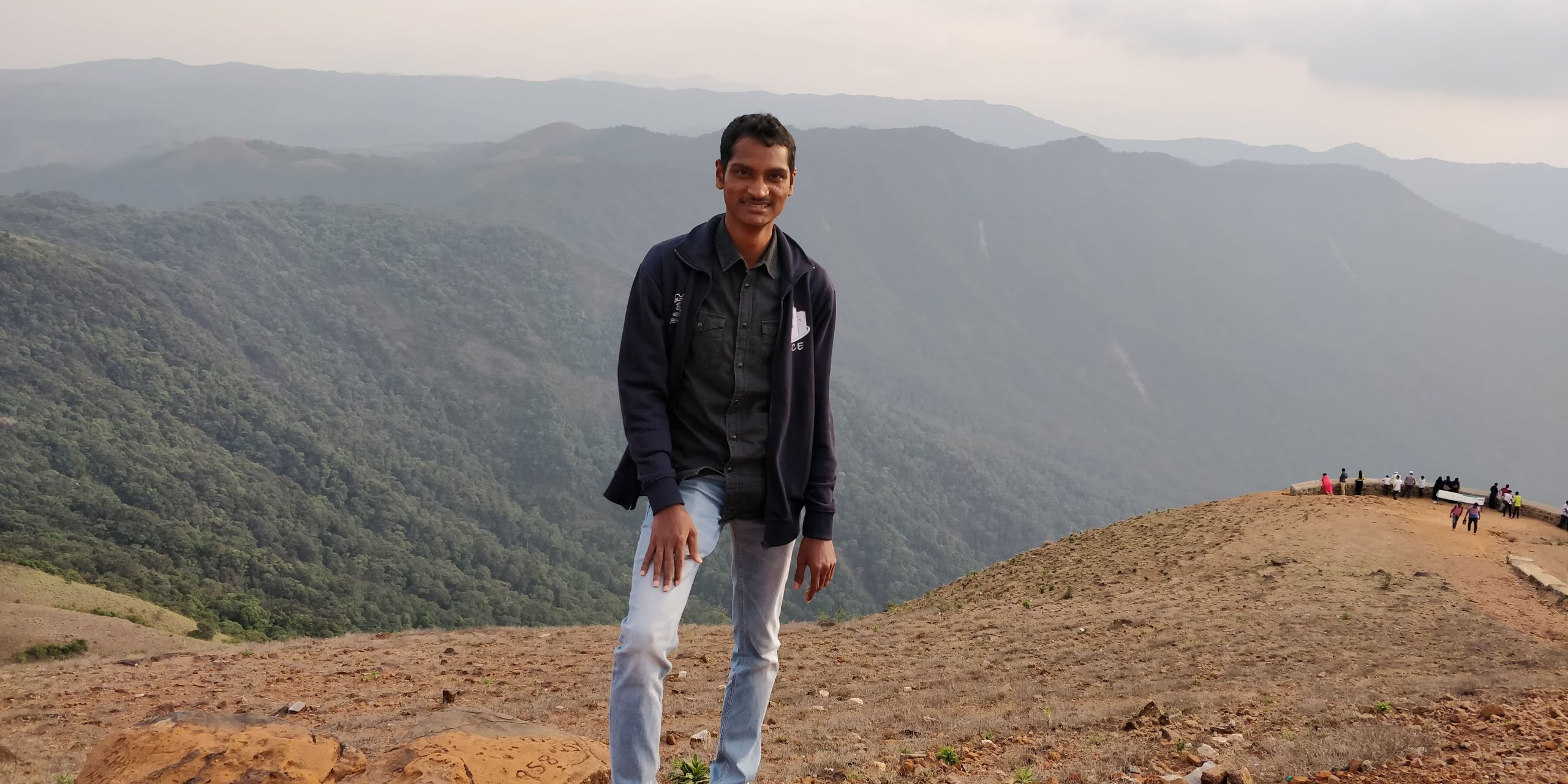
CH. Praveen Kumar

Qualifications:
- Ph.D. Water Resources Engineering, Indian Institute of Technology (IIT) Bombay, Mumbai, India (2015-2022)
- M.Tech. Remote Sensing and GIS, National Institute of Technology (NIT) Warangal, T.S., India (2013-2015)
- B.E. Civil Engineering, Andhra University, 2013
Email: praveen@dakshin.org
Profile: Dr. Praveen is a highly accomplished professional with expertise in Water Resources Engineering, holding a Ph.D. from the Indian Institute of Technology (IIT) Bombay. Currently at Dakshin, serving as a GIS and Visual Analytics Specialist, he brings a wealth of experience to his role. Prior to this, he served as an Assistant Professor in the Civil Engineering Department at SR University in Warangal, Telangana, where he contributed significantly to teaching, research, and laboratory management.
His research has been published in reputable journals and conference proceedings, showcasing his expertise in areas such as spatio-temporal trend analysis of precipitation, runoff estimation using SWAT models, and the impact of storage reservoirs on streamflow estimation. His Ph.D. thesis focused on improving streamflow estimation in large river catchments, incorporating the influence of large storage reservoirs.
His skills extend to programming languages such as Rstudio, MATLAB, C, and C++, and he is proficient in software tools like ArcGIS, QGIS, and ERDAS IMAGINE etc. As a dedicated professional, he is actively involved in professional organisations, holding life memberships in the Indian Society of Hydraulics (ISH), American Society of Civil Engineers (ASCE), and the International Association of Hydrological Sciences (IAHS).
With a commitment to excellence, a strong academic background, and a diverse skill set, Dr. Praveen Kumar continues to make significant contributions to the mapping of blue carbon ecosystems along the Indian coast in the Conservation Crossroads programme at Dakshin.
Publications:
- Spatio-temporal trend analysis of long-term IMD-gridded precipitation in Godavari river basin, India. (Climate Change Impacts on Water Resources: Hydraulics, Water Resources and Coastal Engineering, 59-66, 2021).
- Spatio-temporal trend and homogeneity analysis of gridded and gauge precipitation in Indravati River basin, India. (Journal of Water and Climate Change, 11(1), 178-199, 2020).
- Rapid detection of regional level flood events using AMSR-E satellite images. (Remote Sensing for Disaster Management: Issues and Challenges in Disaster Management (pp. 13-23), Springer International Publishing, 2019).
- Daily runoff estimation in Musi river basin, India, from gridded rainfall using SWAT model. (Eur Water, 57, 63-69, 2017).
